.png)
Disaster Response Suite
Real-time incidents, alerts & logistics.
More info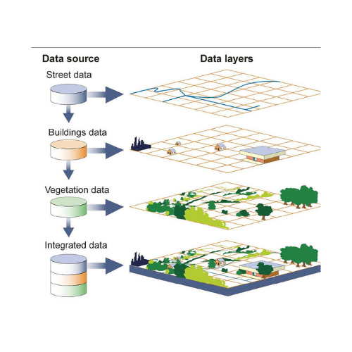

Cloud-ready GIS for mapping, analytics, and decision intelligence. Built for government, utilities, mining, agriculture, and disaster management teams.
Everything you need to collect, manage, analyze, and publish geospatial data at scale.
Create, style, and analyze vector & raster layers; topology tools; snapping; spatial joins.
Publish maps securely; share dashboards; REST APIs; OGC-compliant services.
Offline forms, GPS tracks, photo & video attachments, quality checks.
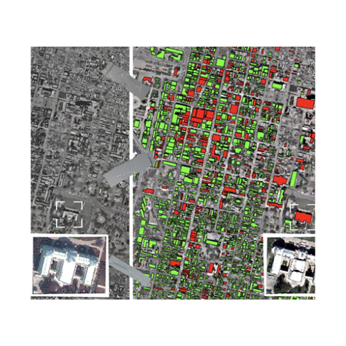
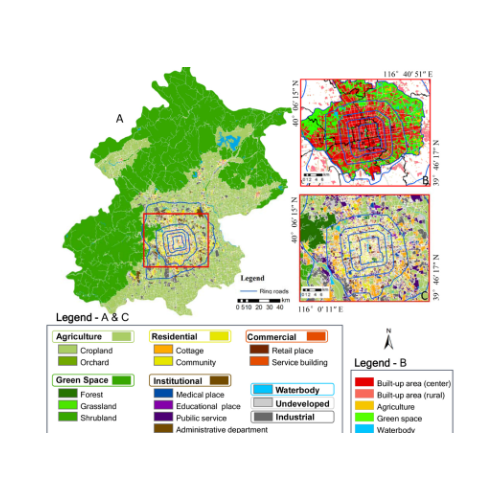
Change detection, suitability analysis, hydrological models, automated PDF exports.
SSO, 2FA, audit logs, encryption at rest/in transit, data residency options.
Connect with ERP, CRM, and IoT sensors; webhooks; Python/JS SDK.
Click any sample to open a full snapshot, description, and a Learn more link.
Yes — cloud, on-prem, and hybrid deployments supported.
Yes — offline forms, GPS, media, and QA checks with seamless sync.
Get pricing, a live demo, or technical documentation. We respond within one business day.
Browse our other solutions. Use the arrows to scroll.
Real-time incidents, alerts & logistics.
More info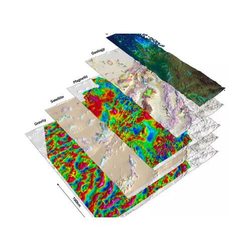
Spectral analysis & target ranking.
More info
Zoning checks & scenarios.
More info
Watershed & runoff modelling.
More info
Crop health & yield prediction.
More info
Assets, outages & work orders.
More info